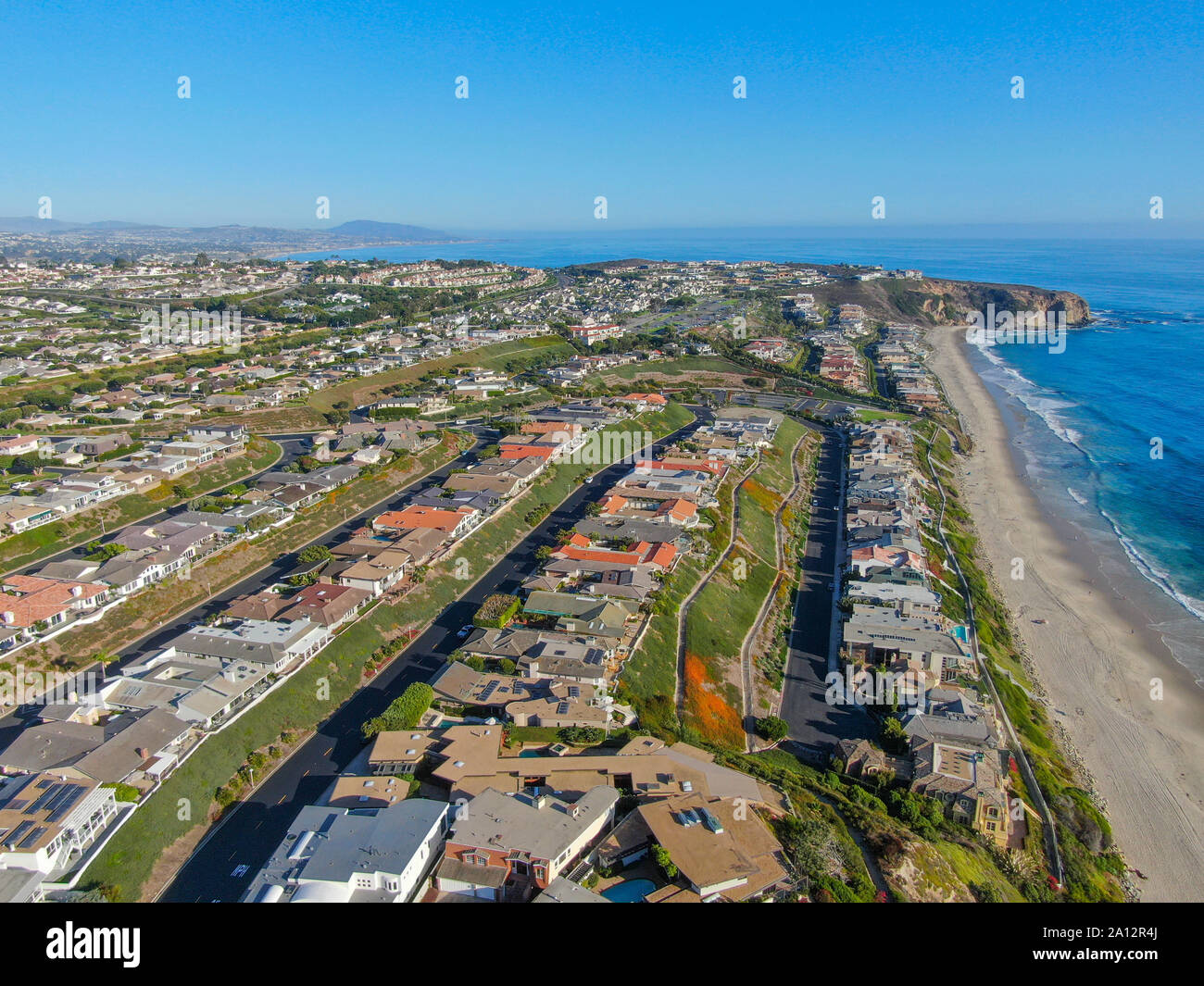
Aerial view of Salt Creek and Monarch beach coastline. Small neighborhood in Orange County City of Dana Point. California, USA. Aerial view of wealthy villa and coastline.
RFID:Image ID:2A12R4J
Image details
Contributor:
Bonandbon / Alamy Stock PhotoImage ID:
2A12R4JFile size:
34.3 MB (2.3 MB Compressed download)Releases:
Model - no | Property - noDo I need a release?Dimensions:
4000 x 3000 px | 33.9 x 25.4 cm | 13.3 x 10 inches | 300dpiMore information:
Aerial view of Salt Creek and Monarch beach coastline. Small neighborhood in Orange County City of Dana Point. California, USA. Aerial view of wealthy villa and coastline.