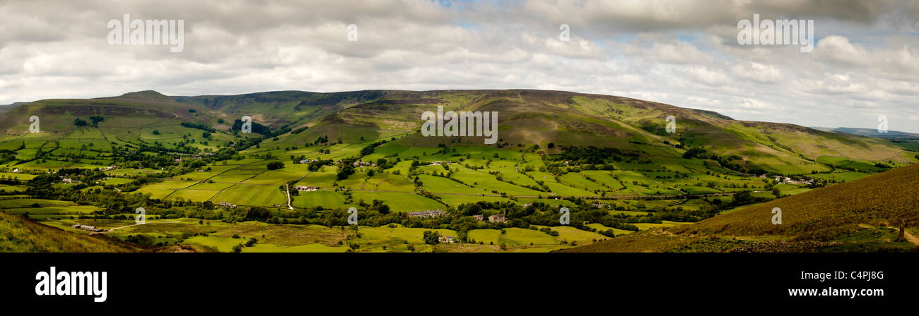
Edale Peak District Derbyshire, United Kingdom
RFID:Image ID:C4PJ8G
Image details
Contributor:
Brian Jackson / Alamy Stock PhotoImage ID:
C4PJ8GFile size:
48 MB (2.5 MB Compressed download)Releases:
Model - no | Property - noDo I need a release?Dimensions:
7800 x 2150 px | 66 x 18.2 cm | 26 x 7.2 inches | 300dpiDate taken:
6 June 2011Location:
Castleton Derbyshire, United KingdomMore information:
Edale is a small Derbyshire village and Civil parish in the Peak District, in the Midlands of England. The Parish of Edale, area 2, 844.8 hectares (7, 030 acres), [2] is in the Borough of High Peak. Edale is best known to walkers as the start (or southern end) of the Pennine Way, and to less ambitious walkers as a good starting point for beautiful evening or day Peak District walks, reachable by public transport from Sheffield or Manchester, and with two pubs which both supply real ale and food.